Images
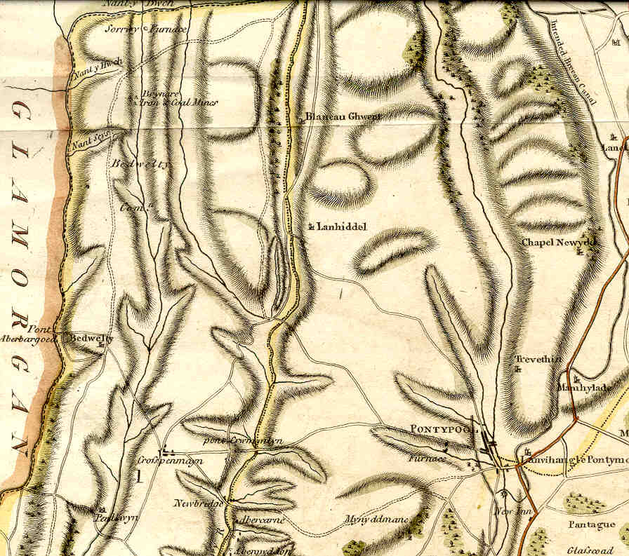
Part of a map of Monmouthshire published in 1805.Furnaces and mines were just beginning to appear, but the town of Blaenavon was not marked on the map.
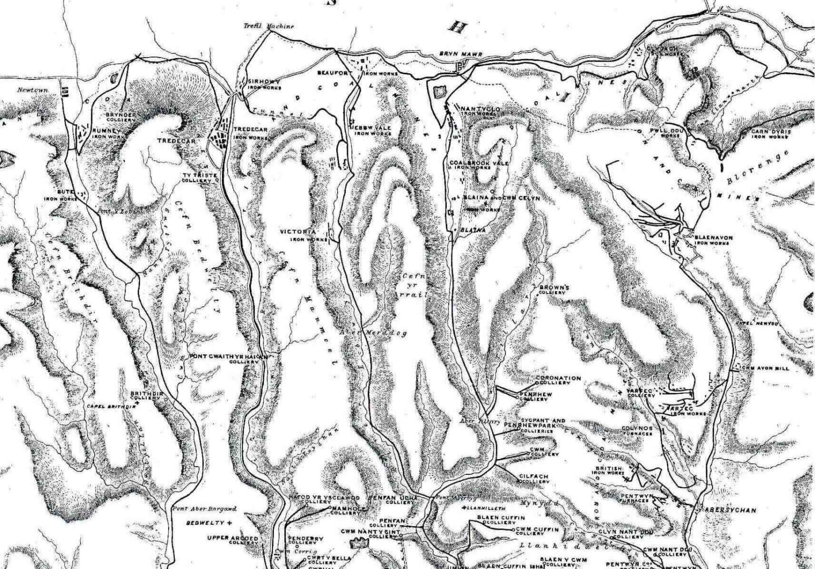
This map of 1843 shows how industry had developed in the north of Monmouthshire since the start of the 19th century.
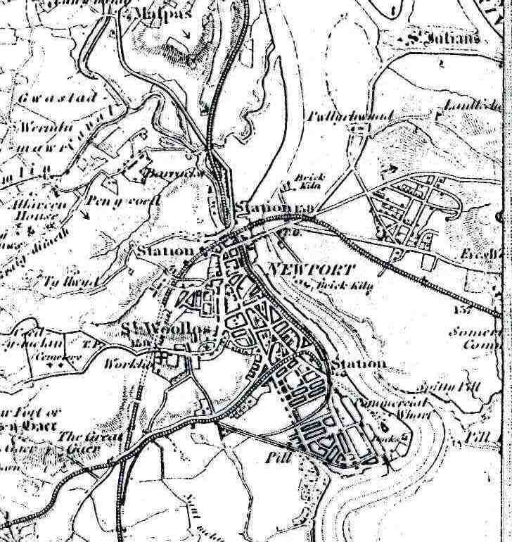
Newport's population in 1800 was just over 1000; by now, it was over 23,000. It had a large Town Dock and railway links to other major towns and cities. By now, its major export was coal from the valleys, not iron.
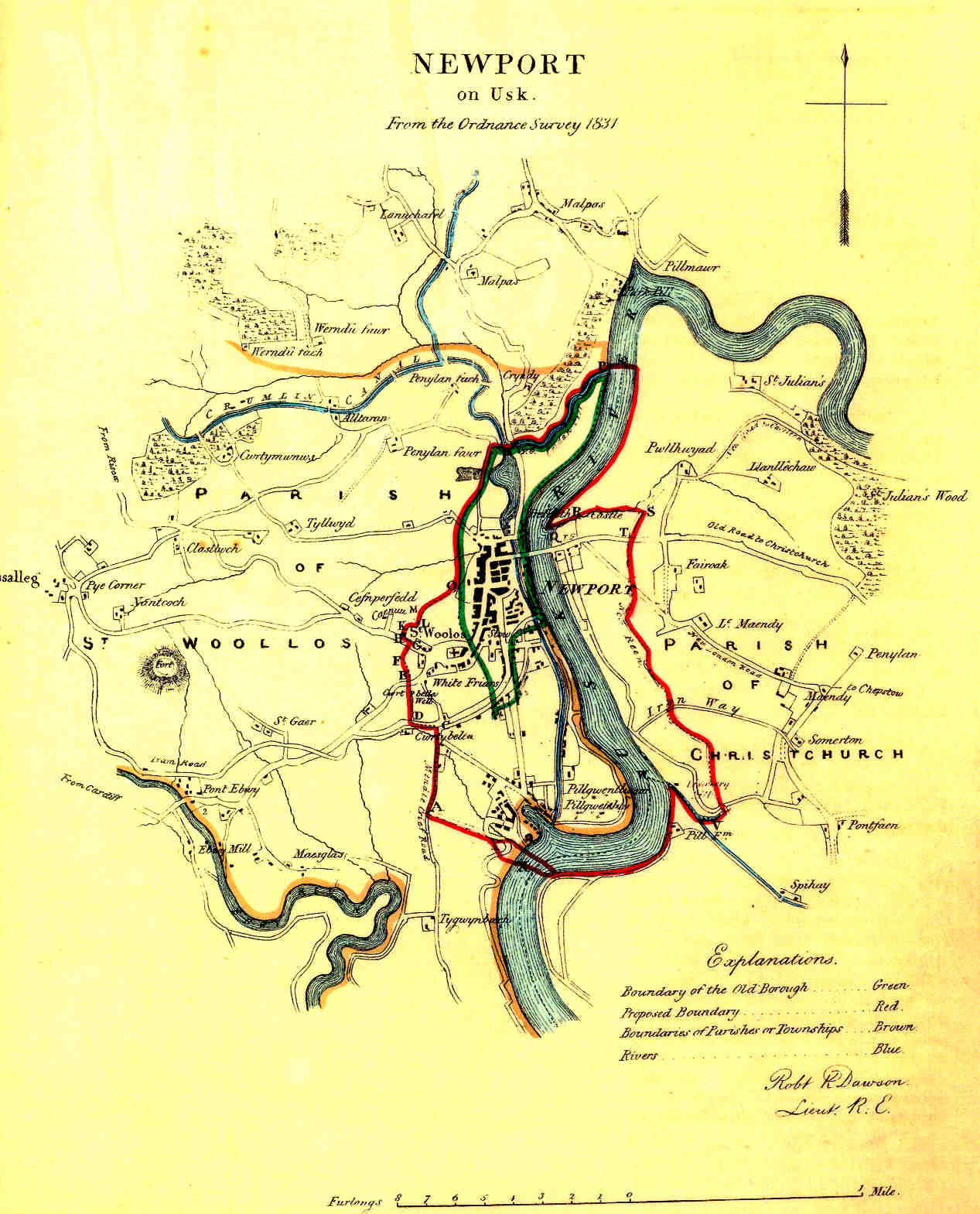
By 1831, Newport had grown rapidly for the first time in centuries, based on the growth of trade from its river wharves.
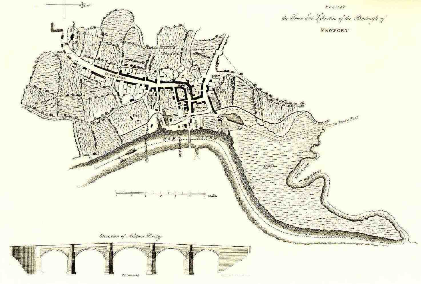
A plan of Newport in 1800. A small, sleepy medieval town, Newport was soon to become a great port and the outlet for the products of the Monmouthshire iron works like Blaenavon.
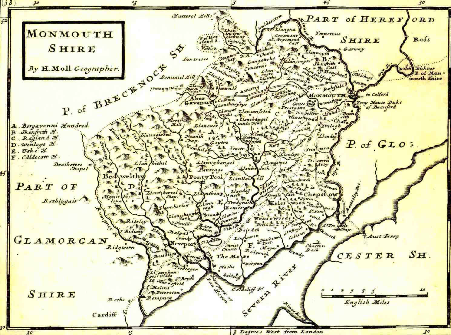
Map of Monmouthshire in 1724 by Herman Moll.
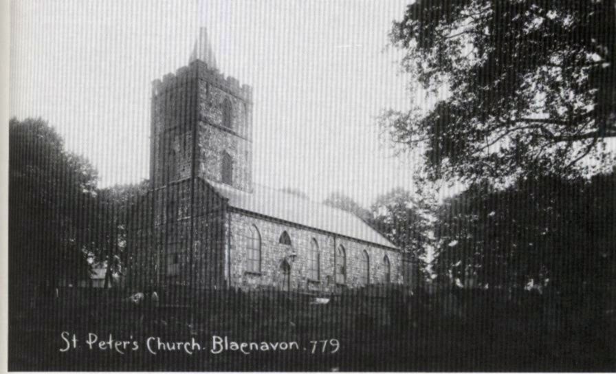
Photograph of St Peter's Church, Blaenavon around the turn of the century
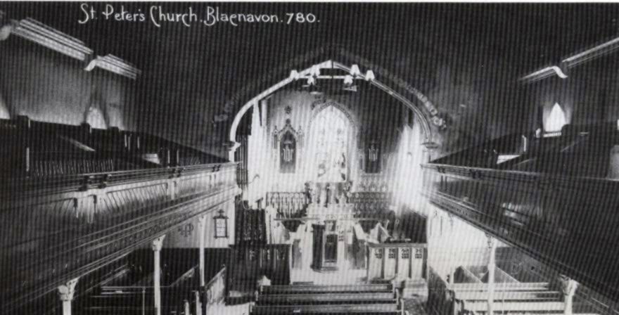
Photograph of the inside of St. Peter's Church.
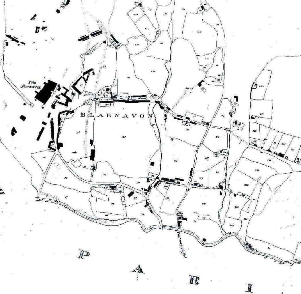
Plan of Blaenavon taken from tithe map of 1843.
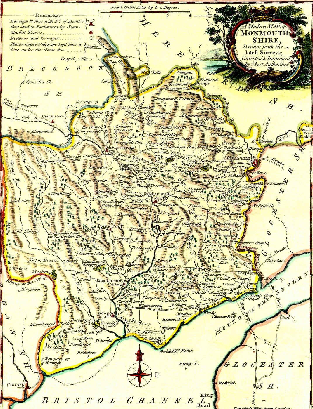
A map of Monmouthshire by J. Ellis, published in 1765.
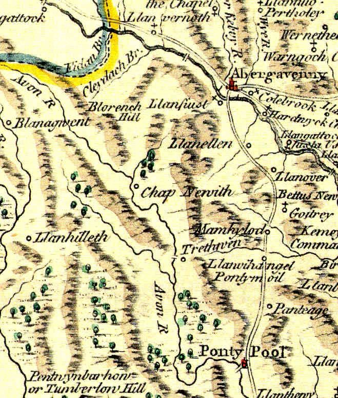
Close up of valley of the Afon Llwyd (where Blaenavon would eventually be built) from the 1765 Monmouthshire map by J. Ellis.
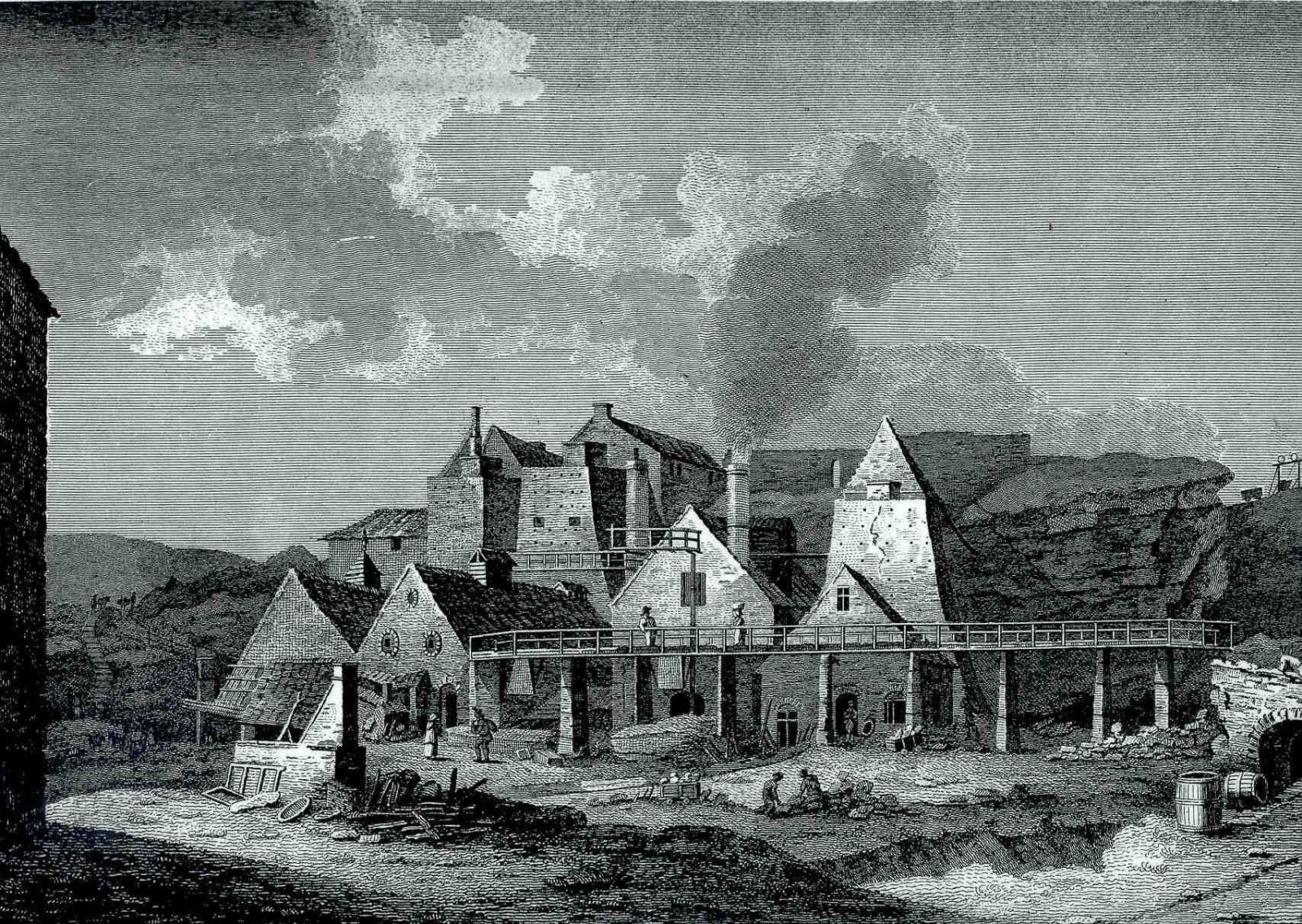
A print of Blaenavon Iron Works in about 1800 from a drawing by Sir Richard Colt Hoare.